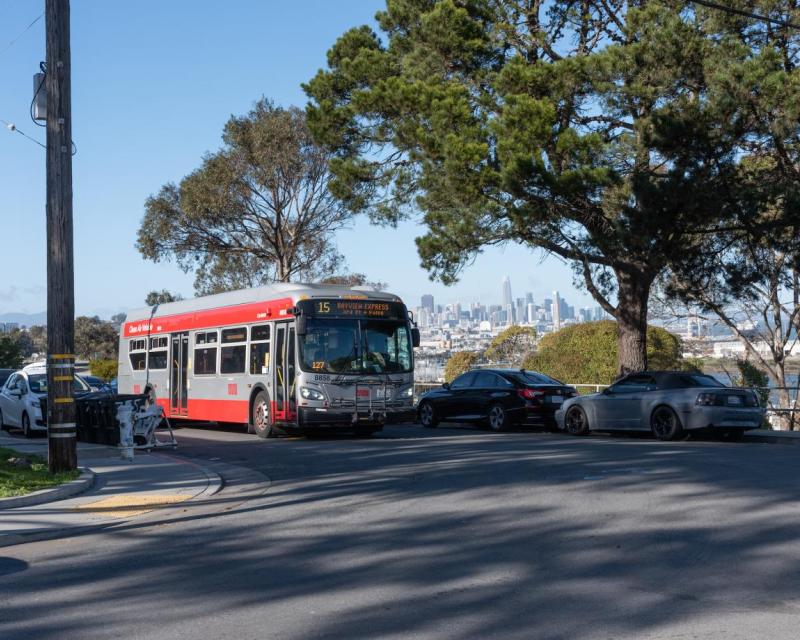
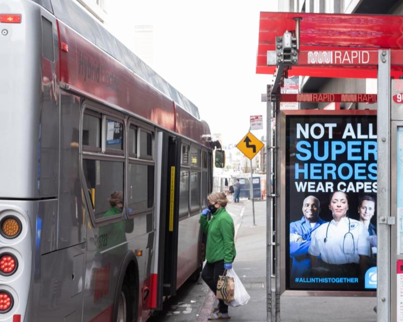
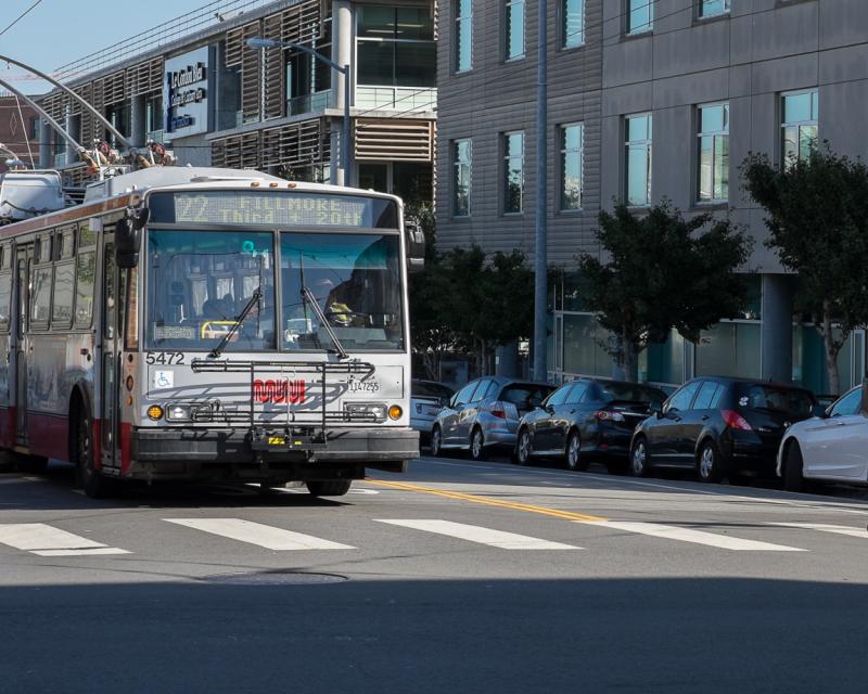
We're the agency that helps you move around the city. Our transportation projects range across new bus routes, street reconfigurations, maintenance work, beautification projects, educational programs and so much more.
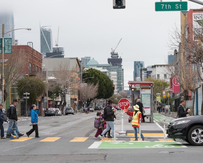
We're the agency that helps you move around the city. Our transportation projects range across new bus routes, street reconfigurations, maintenance work, beautification projects, educational programs and so much more.