Vital Signs—How Are We Feeling?
On Tuesdays we bring you a tidbit of transit news or trivia, either from our own backyard or from around the globe. Thanks for joining us.
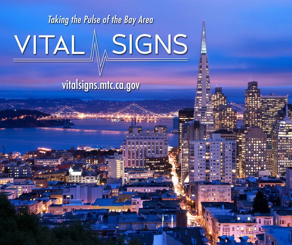
Last week the Metropolitan Transportation Commission (MTC), which houses the Bay Area’s transportation planning, funding and coordinating gurus, launched an interactive website called, Vital Signs, to provide a deep dive into rigorously assembled data to track the region’s performance in the areas of transportation, land use, the environment and the economy. The goal of the site is to help both residents and leaders better understand historical trends, compare communities and evaluate our competitiveness against other regions.
According to the MTC release, the site’s data will be rolled out in three phases: I) transportation, II) land use and economic development and III) environment and safety. The second two are anticipated in the spring and summer. The data in the Vital Signs site look at 14 different health indicators for our various transportation systems, such as roadway conditions and transit performance.
The site was developed in conjunction with the MTC’s Plan Bay Area partners, the Association of Bay Area Governments (ABAG), the Bay Area Air Quality Management District (BAAQMD) and the San Francisco Bay Conservation and Development Commission. Plan Bay Area fulfills a mandate from the state to develop a Sustainable Communities Strategy to prepare for population growth and combat climate change. These large plans formulate the important questions and seek the appropriate answers for the challenges we face in the coming century.
It can be a confusing collection of acronyms and planner-speak, but these are many of the same questions and challenges that our own Board of Directors grappled with today in their annual Board Workshop. Our strategic planning efforts and year-end evaluation feed and are informed by the region’s larger plans.
According to the MTC’s regional travel and transportation information site, 511.org, the Bay Area is expected to increase in population by 1.7 million people by 2030. That is an enormous influx of vehicles on the freeway, commuters on public transit and shoppers in bike lanes. Transportation agencies from around the regional have to analyze housing construction and other large developments, cost-efficient transit options and the overall health of our economy to make the right strategic decisions.

