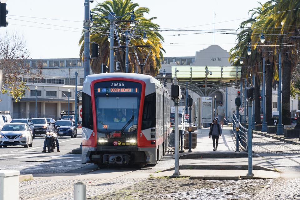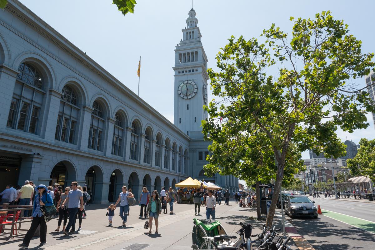
The Embarcadero Connectivity Plan aims to maintain and improve access to San Francisco’s waterfront in the decades ahead.
We are launching the Embarcadero Connectivity Plan and our first step is listening to the needs of local communities.
The Port of San Francisco is working to protect our city’s waterfront from the impacts of climate change and sea level rise. We are beginning a new transportation planning effort to support their efforts and prepare for how people will get around in the decades ahead.
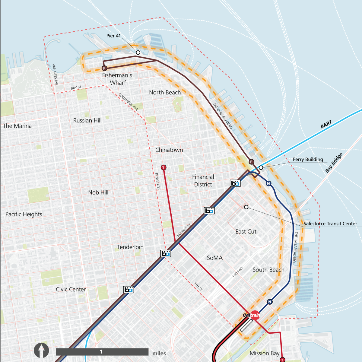
The Embarcadero Connectivity Plan aims to maintain and improve access to San Francisco’s waterfront and nearby neighborhoods along the eastern shoreline — from Mission Bay to Fisherman’s Wharf. This is a long-range transportation plan. It will help ensure people can continue to move safely and reliably through this vital part of the city while the Port’s essential adaptation work takes place.
Your input is so valuable to these early planning phases. We're kicking off public outreach to learn more about how people connect to and travel along the Embarcadero today. This is just the first phase of working with local communities to shape long-range transportation planning for this vibrant part of the city.
Join us at one of our upcoming open houses to share your experiences and ideas:
- Chinatown
- Date: Sunday, Dec. 7, 2025
- Time: 1 p.m. - 2:30 p.m.
- Location:
Betty Ann Ong Recreation Center
1199 Mason Street, Multipurpose Room #3
San Francisco, CA 94108 - Register: Chinatown open house signup page
- South Beach
- Date: Wednesday, Dec. 10, 2025
- Time: 5:30 p.m. - 7 p.m.
- Location:
South Beach Harbor Meeting Room
899 2nd Street, First Floor
San Francisco, CA 94107 - Register: South Beach open house signup page

The SFMTA is beginning a new transportation planning effort to support the Port of San Francisco’s work to protect our city’s waterfront from the impacts of climate change and sea level rise.
Planning for the future
The Port of San Francisco, in partnership with the U.S. Army Corps of Engineers, has developed a draft plan through the San Francisco Waterfront Flood Study. The plan is an ambitious proposal to defend a portion of our city's waterfront against sea level rise, stormwater flooding and earthquakes.
This draft plan will be designed and implemented in phases. Construction plans have not been decided yet. But it’s expected that future adaptation work along the waterfront will impact transportation along the Embarcadero and within adjacent communities.
The Embarcadero Connectivity Plan
In anticipation of these future transportation impacts, the SFMTA is launching the Embarcadero Connectivity Plan. This is a long-term plan to keep the neighborhood moving during construction and to plan for a better-connected future along the Embarcadero.
Our plan for outreach
In December 2025, we will begin our first phase of public outreach. It will include open houses and an online survey.
With this phase of public outreach, we want to understand how people currently get around the Embarcadero area, what challenges they face and what improvements they’d like to see. This feedback will help shape a set of design alternatives that will be evaluated in the next phase of the plan. The final stage: create a transportation plan that reflects community needs and priorities.
Our plan is currently funded by a Caltrans Sustainable Transportation Planning Grant, as well as local revenue from Prop. L and the Port of San Francisco.


The area covered by the Embarcadero Connectivity Plan includes the stretch of waterfront along the Embarcadero from Aquatic Park to Mission Creek, and the bordering communities of North Beach, Chinatown, the Financial District, SoMa and South Beach.
Help us build a better Embarcadero
We encourage you to attend our upcoming community meetings and help shape the Embarcadero Connectivity Plan. You may share your concerns, ask questions, learn more about our planning process and tell us how you think we could improve transportation in and around the Embarcadero.
Stay in touch
Visit our project page (SFMTA.com/EmbarcaderoConnectivity) to sign up for updates, stay informed and learn about opportunities to take part in the planning!
If you have questions about the plan or would like to set up a meeting with the project team, please email us at embarcaderoconnectivity@sfmta.com.
Comments are for the English version of this page.