Say “SFMTA” and most people think of Muni. This is understandable; Muni is a big part of the SFMTA, San Francisco and the city’s history. But there’s much more to the SFMTA as the city’s transportation agency, and there’s more to San Francisco’s transportation infrastructure than just its buses and trains.
Think about the city’s streets and sidewalks you use every day: both the whole travel experience and the small details you encounter on the way.
The SFMTA has a strong role that manages all the important details behind the big picture of San Francisco’s transportation infrastructure. Planning, design, engineering, construction and collaboration with the community all come together to move people and goods around the city.
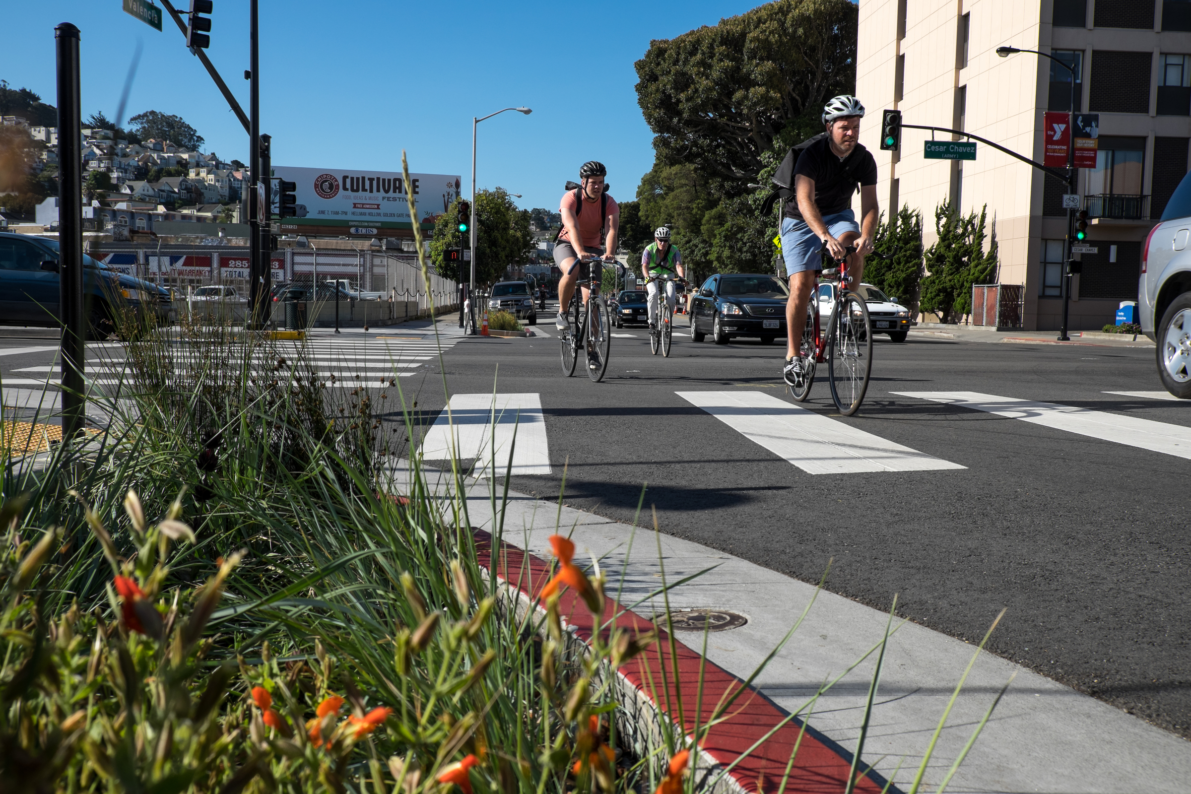
This feature will take San Francisco’s transportation infrastructure “at a glance,” highlighting the signs and markings that appear on our streets and sidewalks, why they’re there and what they do.
From the signal lights that manage the flow of traffic and the green bike lanes that better separate bikes and cars, to the painted crosswalks and school crossing guards you encounter on your way around the city, we have a lot of explaining to do!
Do you have any questions about how our city’s transportation system works or what certain things on the street or sidewalk are meant for? Leave a comment below and we’ll do our best to answer your question in a follow-up blog post!