The Southeastern San Francisco Mobility Hub Plan is a community-focused planning effort to improve the public realm and transportation access in the southeastern part of the city. SFMTA is partnering with neighborhoods, community organizations, merchants, and other agencies to to create inviting spaces near major transit points with amenities, services, and programming to encourage alternative transportation options.
What is a Mobility Hub?
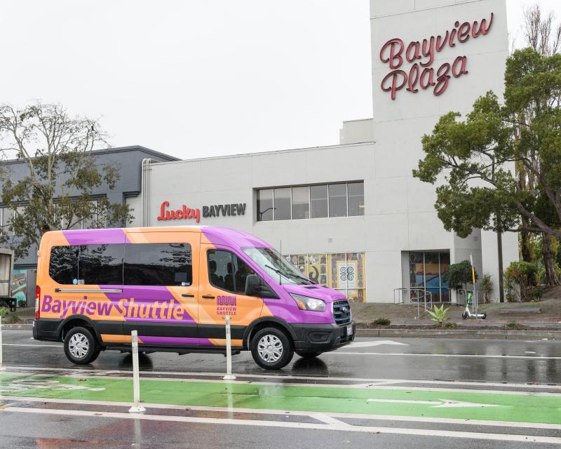
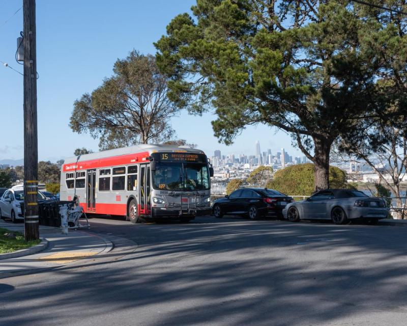
Mobility hubs are places that bring together buses, trains, bikes, pedestrians, wheelchairs, and other travel options and community services in one convenient location. This plan will look at how neighborhoods want improvement in Bayview, Hunters Point, Visitacion Valley, and the Excelsior/Outer Mission.
Planning will continue through 2025, funded by a regional grant from the Metropolitan Transportation Commission (MTC) as part of a Bay Area climate initiative. Our goal is to give Southeast SF communities safer, easier, and greener ways to enjoy and travel. By working closely with community organizations and residents, and with close attention to other recent plans, we will design hubs that reflect local needs and priorities. Following outreach, the plan will recommend specific changes at key locations that can be built in the coming years.
Learn More
What is a Mobility Hub?
A mobility hub is a place that brings community, transportation, placemaking, and services together in a focused place. It is usually centered around a busy transit stop or station. At a mobility hub, you can transfer easily between different types of transportation. For example, imagine a BART or Caltrain station that also has: connecting Muni lines, community services, bike share docks, secure bike parking, scooter rental, a pickup area for rideshares or shuttles, and comfortable places to wait. The area is well-lit, has clear signs with transit information, and might even have amenities like a bike repair center or child day care center nearby.
Mobility hubs make it simple to get where you need to go without a private car. They offer a safe, welcoming space to switch from one mode of travel to another. You might ride a bike to a hub, then take a train downtown, or hop off a bus and get on a scooter to reach your final destination. All the options are in one spot, saving you time and effort.
Focus Areas
The Southeastern SF Mobility Hub Plan focuses on the city’s southeast neighborhoods and transit corridors. We are looking at three main locations (anchor hubs) and the communities around them. These hub focus areas are:
- Balboa Park Station (in the Ingleside/Excelsior area, near City College) – Southwest corner of our focus area
- 3rd Street at Oakdale/Palou (in the Bayview neighborhood) – Central part of the focus area in Bayview-Hunters Point
- Bayshore Caltrain Station (on the border of Visitacion Valley and Brisbane) – Southeast edge of San Francisco
Together, these locations form a rough triangle covering a broad area of Southeast San Francisco. The planning area includes neighborhoods such as Bayview, Hunters Point, Visitacion Valley, Sunnydale, Portola, and Excelsior/Outer Mission. It stretches from the vicinity of Balboa Park in the southwest to the Bayview and Vis Valley communities in the east and north. This part of the city is bordered by San Francisco Bay to the east and the county line to the south. It is a vibrant area with diverse communities, many of whom rely on transit and walk or bike for daily travel.